Preis:
250.00 EUR zzgl. 3.90 EUR Versand
Preis inkl. Versand:
253.90 EUR
Alle Preisangaben inkl. USt
Verkauf durch:
Antiquariat Lenzen
Michael Lenzen M.A. und Stefan Lenzen GbR
Münsterstraße 334
40470 Düsseldorf
DE
Zahlungsarten:
Rückgabemöglichkeit:
Ja (Weitere Details)
Versand:
Paketversand / Paket DHL
Lieferzeit:
1 - 4 Werktage
Beschreibung:
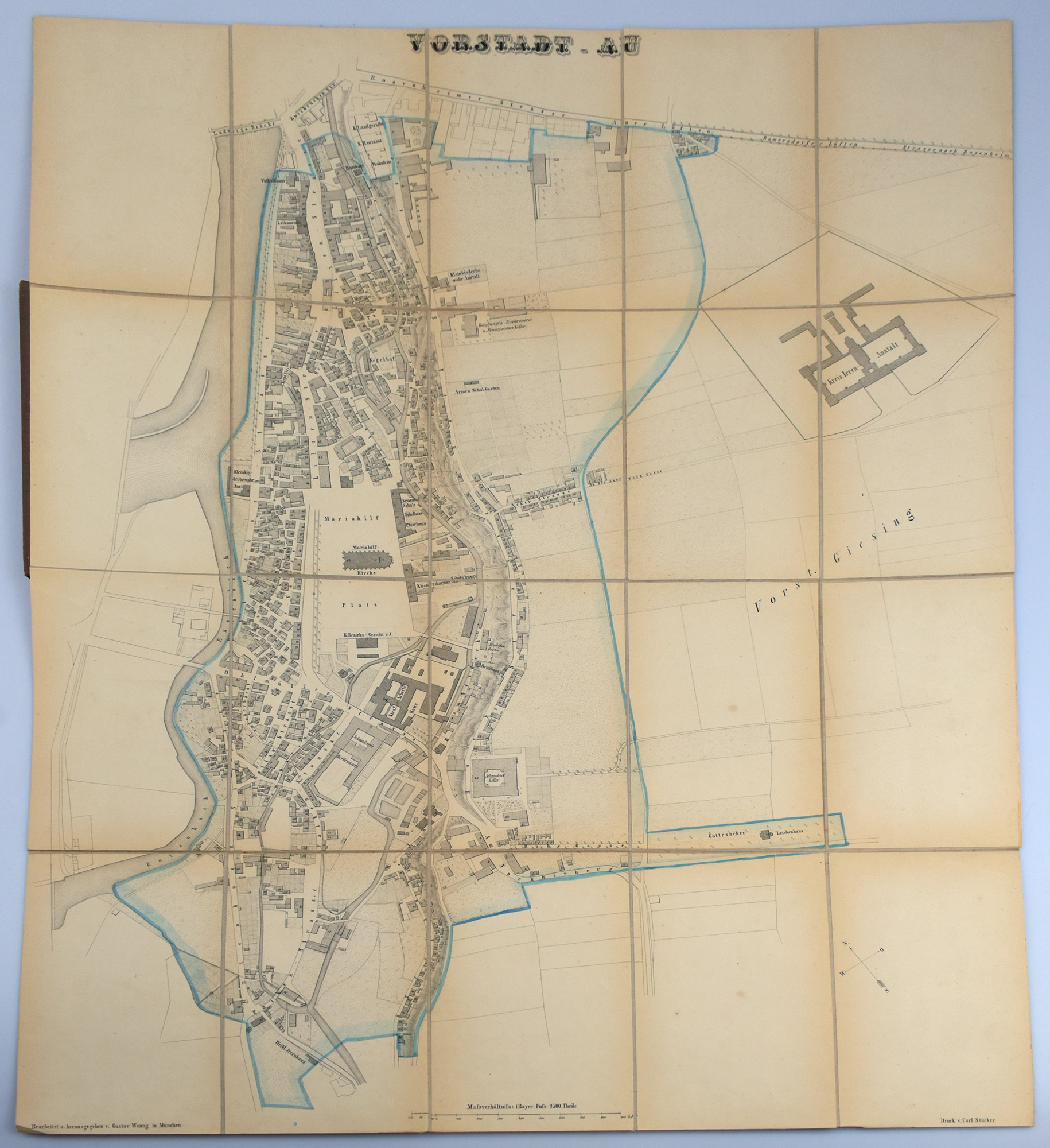
Gefalteter Plan: 19 x 13 cm. Leineneinband der Zeit mit goldgeprägtem Deckeltitel, Faltplan auf hinterem Innendeckel montiert.
Bemerkung:
Grenzkolorierter gefalteter Stadtplan in Lithografie, bestehend aus 20 auf Leinen kaschierten Segmenten (Blattmaße: 18 x 11 cm, Kartenmaße: 73 x 56 cm). Der Kartograph Gustav Wenng hat mit seinem 1858 entstandenen "Plan der Königlichen Vorstadt Au" den damaligen Baubestand der Au präzise festgehalten. Damit schuf er eine verlässliche Grundlage, von der aus sich die weitere bauliche Entwicklung des Stadtteils anhand späterer Stadtpläne nachvollziehen lässt. Sehr gutes Exemplar. Cloth binding of the time with gilt-stamped title on the front cover, the folding map mounted to the rear pastedown. Boundary-coloured folding lithographed town plan, consisting of 20 linen-backed sections (section size 18 × 11 cm; overall map size 73 × 56 cm). With his Plan der Königlichen Vorstadt Au, produced in 1858, the cartographer Gustav Wenng recorded the built environment of the Au district with remarkable precision. The plan constitutes a valuable documentary source for the state of development of the suburb in the mid-nineteenth century and provides a reliable basis for tracing its subsequent urban development through later city plans. Fine copy.